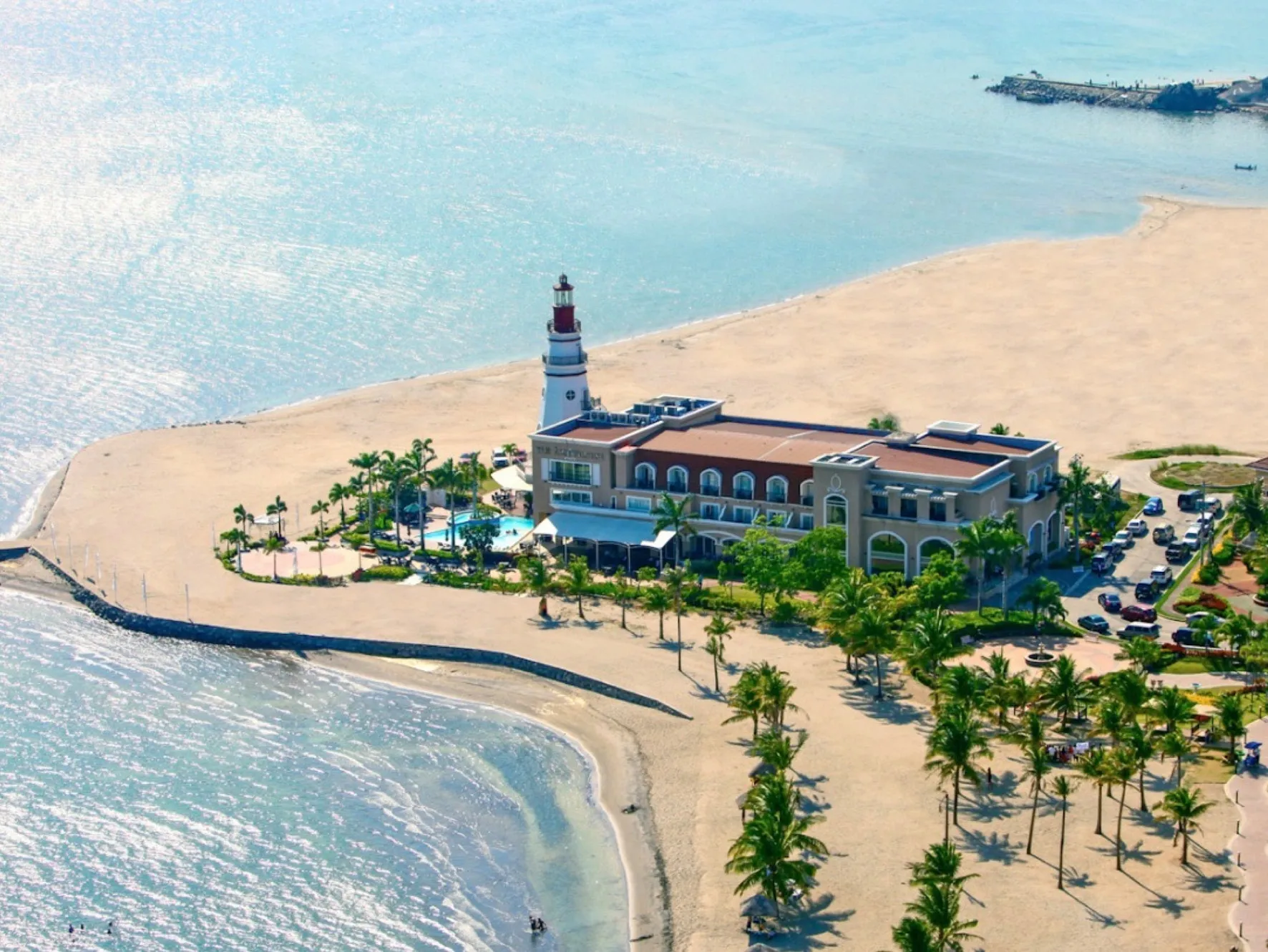
People arrive expecting a resort town and find an administrative zone the size of a small city, with industrial estates at one end and protected rainforest at the other. Twenty minutes of driving can take you from a duty-free mall to a conservation area where tree cutting is banned.
SBMA divides the zone into districts with defined land uses and published hectarages. This is what each one is actually for, and what it means if you are trying to work out where to base yourself.
Where you should probably stay
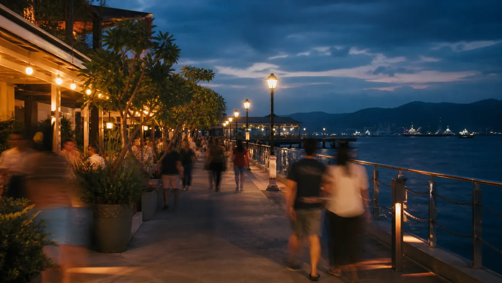
The Central Business District is the answer for most visitors. At 182 hectares it is one of the smallest districts in the zone and by far the densest: restaurants, cafés, duty-free shops, hotels, bars and the waterfront promenade are all here, and most of it is walkable.
- Area
- 182 ha
- Land use
- Commercial, mixed institutional and residential
- Go there for
- Hotels, restaurants, duty-free, the waterfront
Waterfront Road is the CBD’s bayside strip and the address of SBMA’s own head office. It is also where the ferry to Grande Island picks up. If you want to be able to walk to dinner, stay within a few streets of it.
The residential heights
Two districts of former US officers’ housing sit in the hills above the bay, both surrounded by preservation zones, both quiet and green.
Binictican Heights
At 642.55 hectares, the larger and better-equipped of the two: single-detached houses and duplexes, a golf course, a retirement village, an international school, parks and sports facilities. This is where the long-stay and expat residential character of the Freeport lives.
Kalayaan Heights
At 452.66 hectares, lower-density and with little visitor infrastructure — schools, parks and housing. Relevant if you are staying for a month, not for a weekend.
Where the attractions are
Cubi–Triboa, at 720.50 hectares, is the district doing the most tourism work. Cubi is the old Naval Air Station, now Subic Bay International Airport. The theme-park and marine-attraction cluster is here, along with the Triboa Bay mangroves and the sheltered end of the bay.
If you are visiting with children, most of the day is likely to be spent in this district and you may want to weigh the drive from the CBD each morning.
The forest districts
Two conservation districts hold most of the zone’s surviving rainforest, and the difference between them matters if you are planning a day outdoors.
- Ilanin Forest West — 1,223.57 ha
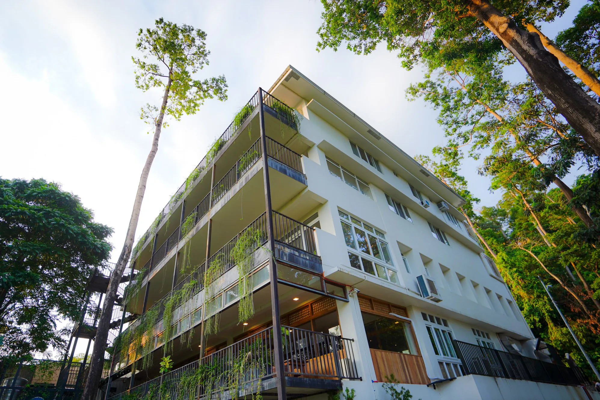
- Conservation zone that permits medium-intensity recreation in developable portions under strict environmental controls. Nature parks, forest trails, eco-tourism and beach resorts on the forest side of the bay.
- Ilanin Forest East — 919.45 ha
- Predominantly forest, the most protected land in the zone. Low-intensity recreational use only, no tree cutting. Guided nature activity only.
The Aeta ancestral domain
SBMA’s district schedule records 4,555.93 hectares of Certificate of Ancestral Domain Title land containing Aeta settlements, with mixed land uses including conservation and preservation zones. The largest community in the zone is at Pastolan.
The districts you will pass through, not stop in
- Redondo Peninsula (3,596.81 ha) — predominantly industrial, the old shipyard side of the bay. Scenic from the water, not a leisure district.
- Port District (324.53 ha) — the working shipping port, container yards and tank farms. Cruise ships arrive here; otherwise it is operational.
- Subic Gateway (723.69 ha) — industrial estate, and where the SBECC convention centre sits.
- Subic Bay Forest District (4,814.62 ha) — split between Tipo, where you enter from the SCTEX expressway, and Minanga, a quiet forested bayfront pocket.
Names that are not districts
Several place names in common use are streets, sub-areas or landmarks rather than formal districts, which is a frequent source of confusion when reading addresses:
- Waterfront Road — the CBD’s bayside promenade, not a district.
- Argonaut Highway — the main artery through the CBD and waterfront area.
- Boton — a coastal and forest area on the southern shore, with beaches and protected mangroves.
- NavMag (Naval Magazine) — the old ordnance area, and the gateway to the deep forest.
- Grande Island — the island at the bay mouth, reached by ferry from the Waterfront Road wharf.
Common questions
Where should I stay in Subic Bay?
The Central Business District, for most visitors. It holds the hotels, restaurants, duty-free shops and the waterfront promenade in a compact, walkable area. Stay in Ilanin Forest West instead if your trip is built around forest and beaches rather than eating out.
How big is the Subic Bay Freeport Zone?
The fenced Freeport is roughly 14,000 hectares, divided into eleven formally defined districts ranging from the 182-hectare Central Business District to the 4,814-hectare Subic Bay Forest District. Around 10,000 hectares of that is surviving lowland rainforest.
Is Subic Bay International Airport still operating?
The airport occupies the former Naval Air Station at Cubi Point, in the Cubi–Triboa district. Confirm current commercial flight availability directly before planning around it — scheduled service to Subic has changed repeatedly.
What is the difference between Ilanin Forest East and West?
West is a conservation zone that allows medium-intensity recreation in developable portions, so it holds the nature parks, forest trails and beach resorts. East is predominantly forest and the most strictly protected land in the zone, open to low-intensity guided activity only, with no tree cutting.
Sources
Every factual claim above traces to one of these. Where sources disagree — or where we could not confirm something — the piece says so rather than choosing the tidier version.